Summits
Alpine summits over 3,000 m
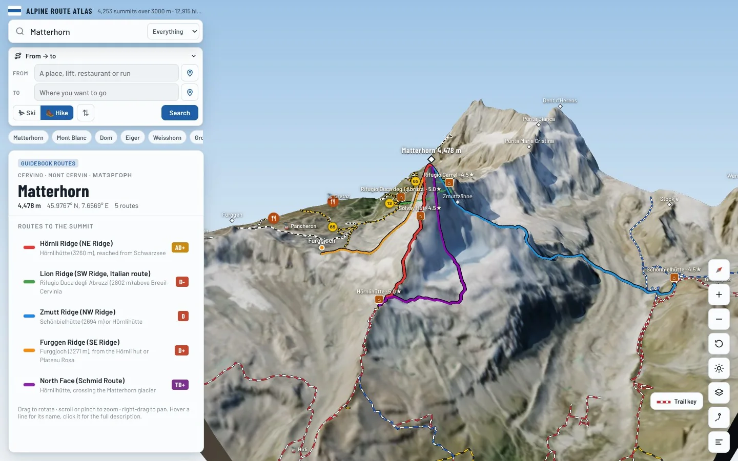
Routes, grades and huts for every summit over 3,000 m in the Alps, each one in 3D on the real terrain.
Featured
The 3D atlas
A map you can walk around.
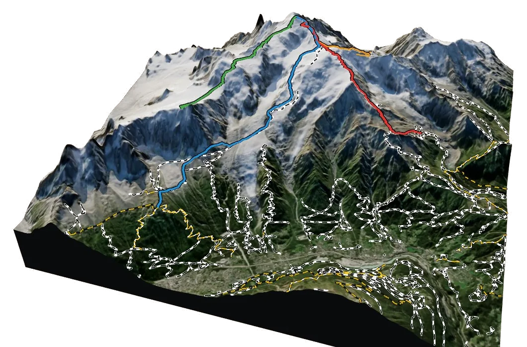
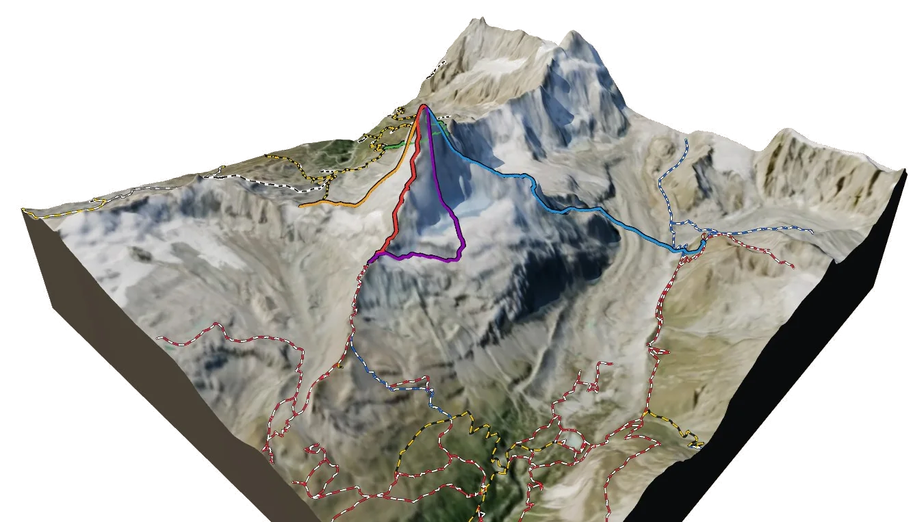
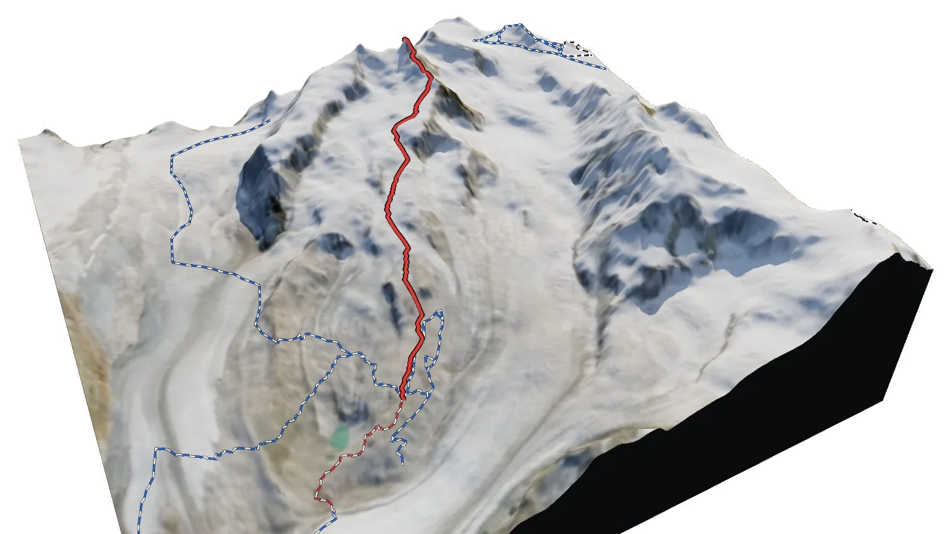
Berg Explorer turns satellite imagery and terrain data into a 3D model of the Alps, with every route, hut and trail drawn on it.
- Turn and tilt every face in real 3D terrain
- Each route traced in colour, with its grade
- Huts, lifts and waymarked trails on the map
- Free, in your browser, no download