
Zermatt and Saas · 4,505 m
Weisshorn
2 routes to a 4,505 m summit in the Zermatt and Saas area, from AD+ (fairly difficult).
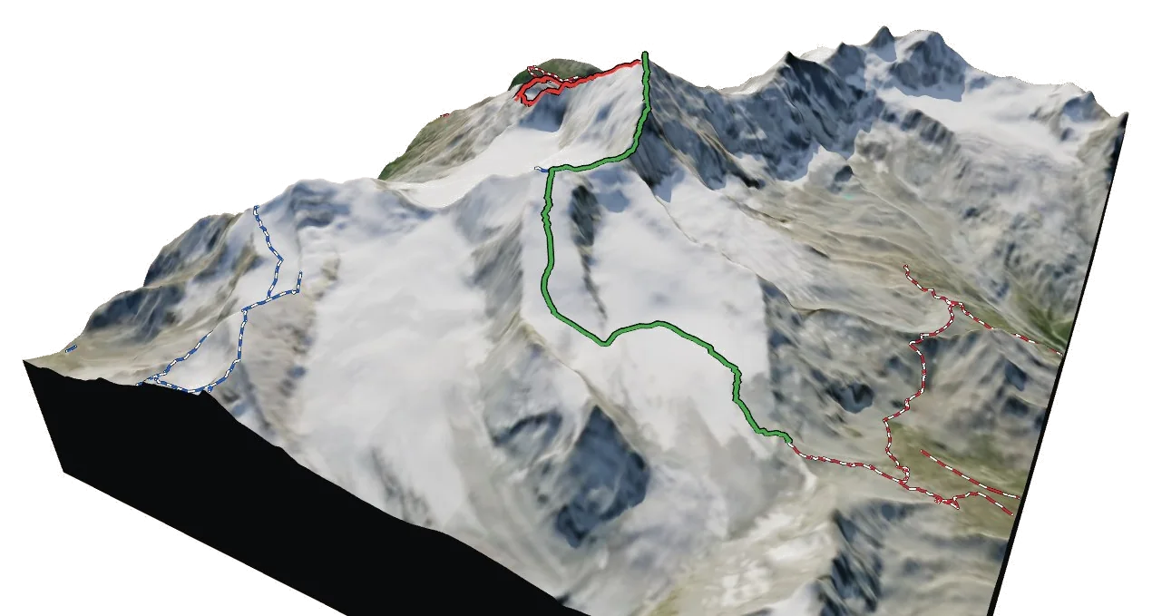
Overview
About Weisshorn
Weisshorn rises to 4,505 m in the Zermatt and Saas area of the Alps. It is one of only 120 summits in the atlas above 4,000 m, and number 14 by height. The nearest village is Randa at 1,416 m, about 5 km away, which leaves roughly 3,089 m of height between the valley and the top. The easiest way up is the East Ridge (Normal Route), graded AD+ with rock moves up to III. The hardest of the 2 listed routes is the North Ridge (from the Bishorn) at AD+. All of them come from guidebooks. Most parties spend a night at Weisshorn Hut (2,929 m), 2.7 km from the summit.
Climbing
Routes to the summit
AD+
East Ridge (Normal Route)
Fairly difficult · rock up to III
Guidebook
A classic, very long ridge over many rock towers and a final snow arête. One of the finest 4000 m summits in the Alps.
- Grade
- AD+ · rock III
- Time
- 8–10 h from the Weisshornhütte
- Height gain
- 1,570 m
- Starts from
- Weisshornhütte (2932 m), from Randa
On the route
- Glacier approach to the Frühstücksplatz
- Long gendarmed rock ridge
- Narrow, exposed snow arête to the summit
Tips
- Very long day; competent parties move together on the rock
- Do not attempt in poor visibility or wind
- Start before 3 am
AD+
North Ridge (from the Bishorn)
Fairly difficult · rock up to III+
Guidebook
A beautiful combination: up the Bishorn and along the corniced north ridge, passing the Grand Gendarme.
- Grade
- AD+ · rock III+
- Time
- 9–11 h from the Tracuit hut
- Height gain
- 1,250 m
- Starts from
- Cabane de Tracuit (3256 m), via the Bishorn
On the route
- Easy glacier ascent of the Bishorn (4153 m)
- Grand Gendarme, climbed direct (III) or turned
- Long, corniced snow ridge to the summit
Tips
- Cornices overhang the east side
- Turn back early if the snow is soft
- Descend the same way or by the East Ridge
Alpine grades: F easy · PD moderately difficult · AD fairly difficult · D difficult · TD very difficult. Roman numerals give the hardest rock moves.
The 3D atlas
Don’t just read about Weisshorn. Fly around it.
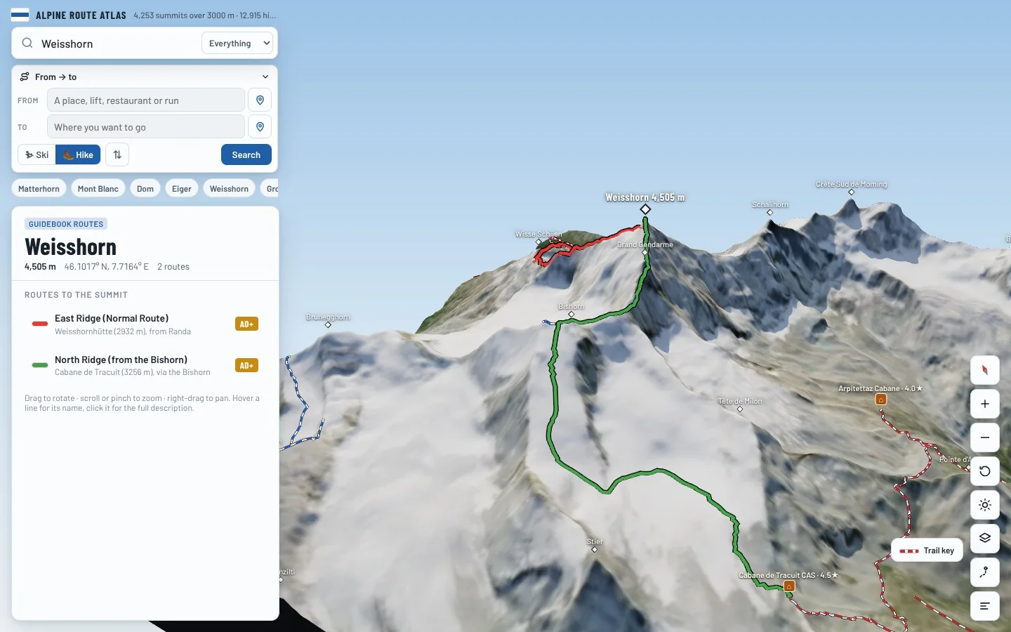
Every route on this page is traced on the real terrain in Berg Explorer. Spin the mountain, follow a ridge to the top and see which huts and lifts get you there.
- Turn and tilt every face in real 3D terrain
- Each route traced in colour, with its grade
- Huts, lifts and waymarked trails on the map
- Free, in your browser, no download
Where to stay
Huts for Weisshorn
Nearby
Summits close by
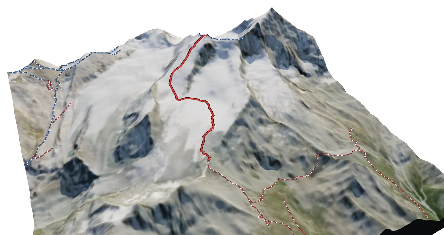
Bishorn
4,149 m · 1.8 km
Schalihorn
3,974 m · 2.1 km
Wisse Schijen
3,369 m · 2.2 km
Wisse Schijen Südgipfel
3,264 m · 2.4 km
See Weisshorn in three dimensions
Open the 3D atlas