
Écrins · 3,982 m
Grand Pic de la Meije
1 route to a 3,982 m summit in the Écrins area, from D- (difficult).
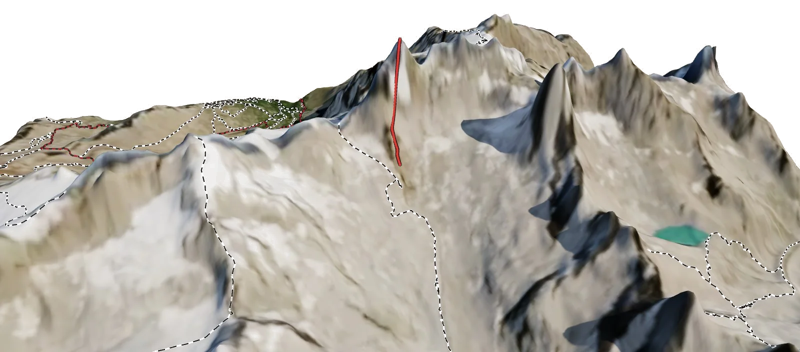
Overview
About Grand Pic de la Meije
Grand Pic de la Meije rises to 3,982 m in the Écrins area of the Alps, and is also known as La Meije. The nearest village is La Grave at 1,488 m, about 5 km away, which leaves roughly 2,494 m of height between the valley and the top. The easiest way up is the Normal Route (S Face), graded D- with rock moves up to IV. All of them come from guidebooks. Most parties spend a night at Refuge du Châtelleret (2,231 m), 3.3 km from the summit. 5 waymarked hikes start within 5 km, useful for acclimatising first.
Climbing
Routes to the summit
D-
Normal Route (S Face)
Difficult · rock up to IV
Guidebook
A long and complex rock route on the south face to the Grand Pic. Part of the famous Meije traverse.
- Grade
- D- · rock IV
- Time
- 6–8 h from the Promontoire hut
- Height gain
- 890 m
- Starts from
- Refuge du Promontoire (3092 m)
On the route
- Pas du Chat
- Glacier Carré
- Cheval Rouge and the summit block
Tips
- Route-finding is complex; a guide is recommended
- The full traverse to the Doigt de Dieu is a big day
Alpine grades: F easy · PD moderately difficult · AD fairly difficult · D difficult · TD very difficult. Roman numerals give the hardest rock moves.
The 3D atlas
Don’t just read about Grand Pic de la Meije. Fly around it.
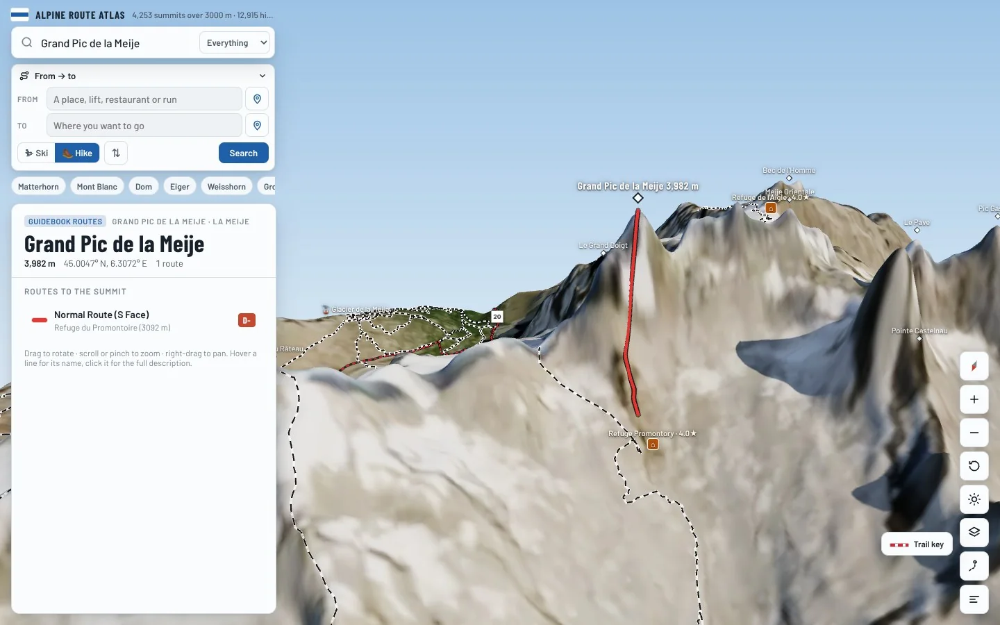
Every route on this page is traced on the real terrain in Berg Explorer. Spin the mountain, follow a ridge to the top and see which huts and lifts get you there.
- Turn and tilt every face in real 3D terrain
- Each route traced in colour, with its grade
- Huts, lifts and waymarked trails on the map
- Free, in your browser, no download
Where to stay
Huts for Grand Pic de la Meije
Nearby
Summits close by
Pic du Glacier Carré
3,862 m · 0.0 km
Le Grand Doigt
3,764 m · 0.3 km
Doigt de Dieu
3,973 m · 0.4 km
Tête des Corridors
3,734 m · 0.7 km
See Grand Pic de la Meije in three dimensions
Open the 3D atlas