
Bernese Alps · 3,970 m
Eiger
3 routes to a 3,970 m summit in the Bernese Alps area, from AD (fairly difficult).
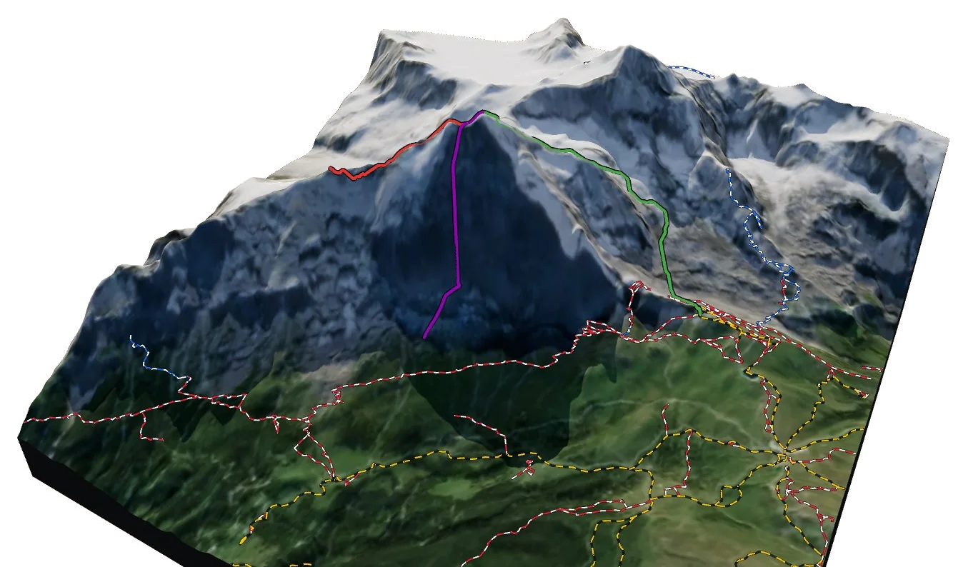
Overview
About Eiger
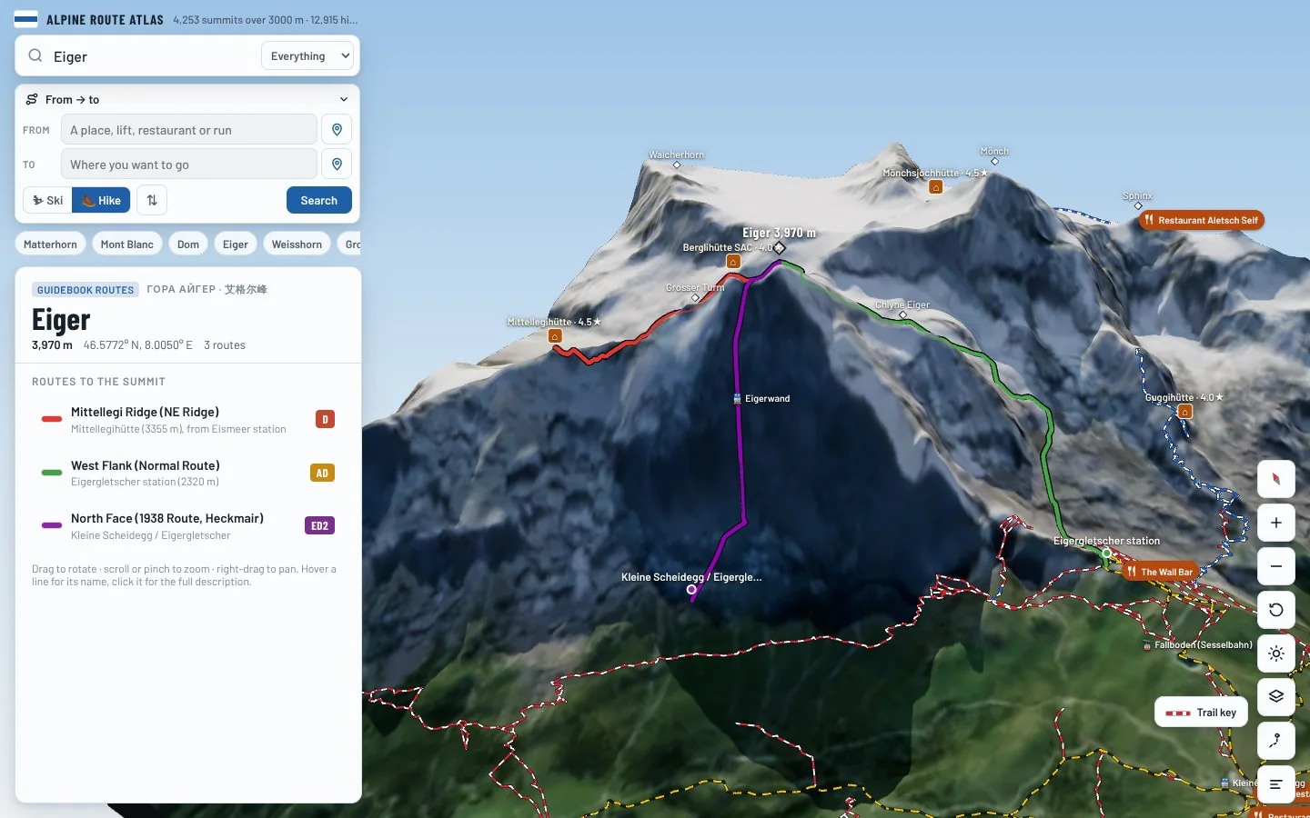
Eiger rises to 3,970 m in the Bernese Alps area of the Alps. The nearest village is Grindelwald at 1,054 m, about 6 km away, which leaves roughly 2,916 m of height between the valley and the top. The easiest way up is the West Flank (Normal Route), graded AD with rock moves up to II–III. The hardest of the 3 listed routes is the North Face (1938 Route, Heckmair) at ED2. All of them come from guidebooks. Most parties spend a night at Mittellegihütte (3,342 m), 1.5 km from the summit. 6 waymarked hikes start within 5 km, useful for acclimatising first.
Climbing
Routes to the summit
AD
West Flank (Normal Route)
Fairly difficult · rock up to II–III
Guidebook
The usual descent route: loose limestone slabs and gullies. Route-finding is the main challenge.
- Grade
- AD · rock II–III
- Time
- 5–6 h from Eigergletscher
- Height gain
- 1,650 m
- Starts from
- Eigergletscher station (2320 m)
On the route
- Long slabby rock flank
- Snow and ice in the upper gullies
- Many abseil anchors
Tips
- Dangerous in fog: many people get lost here
- Loose rock throughout
- Often icy in the morning
D
Mittellegi Ridge (NE Ridge)
Difficult · rock up to III–IV (fixed ropes)
Guidebook
The classic ridge of the Eiger: sharp, exposed and well equipped with fixed ropes on the steepest steps.
- Grade
- D · rock III–IV (fixed ropes)
- Time
- 4–6 h from the Mittellegi hut
- Height gain
- 610 m
- Starts from
- Mittellegihütte (3355 m), from Eismeer station
On the route
- Mittellegi hut perched on the ridge
- Series of rock steps with fixed ropes
- Narrow, corniced snow crest to the summit
Tips
- Descent by the South Ridge or West Flank is long and tricky
- Fixed ropes help but you still need to climb III
- Avoid when snowy: the ridge becomes very slow
ED2
North Face (1938 Route, Heckmair)
Extremely difficult · rock up to V+, A0, ice 60°
Guidebook
The most famous face in the Alps, first climbed in 1938 by Heckmair, Vörg, Harrer and Kasparek.
- Grade
- ED2 · rock V+, A0, ice 60°
- Time
- 2–3 days
- Height gain
- 1,800 m
- Starts from
- Kleine Scheidegg / Eigergletscher
On the route
- Difficult Crack and Hinterstoisser Traverse
- First and Second Icefields
- The Ramp and the Traverse of the Gods
- The White Spider and the Exit Cracks
Tips
- Best in cold, dry winter or spring conditions
- Rockfall is extreme in warm weather
- Line shown is approximate
Alpine grades: F easy · PD moderately difficult · AD fairly difficult · D difficult · TD very difficult. Roman numerals give the hardest rock moves.
The 3D atlas
Don’t just read about Eiger. Fly around it.
Every route on this page is traced on the real terrain in Berg Explorer. Spin the mountain, follow a ridge to the top and see which huts and lifts get you there.
- Turn and tilt every face in real 3D terrain
- Each route traced in colour, with its grade
- Huts, lifts and waymarked trails on the map
- Free, in your browser, no download
Where to stay
Huts for Eiger
Nearby
Summits close by
Grosser Turm
3,688 m · 0.5 km
Chlyne Eiger
3,467 m · 0.8 km
Mönch
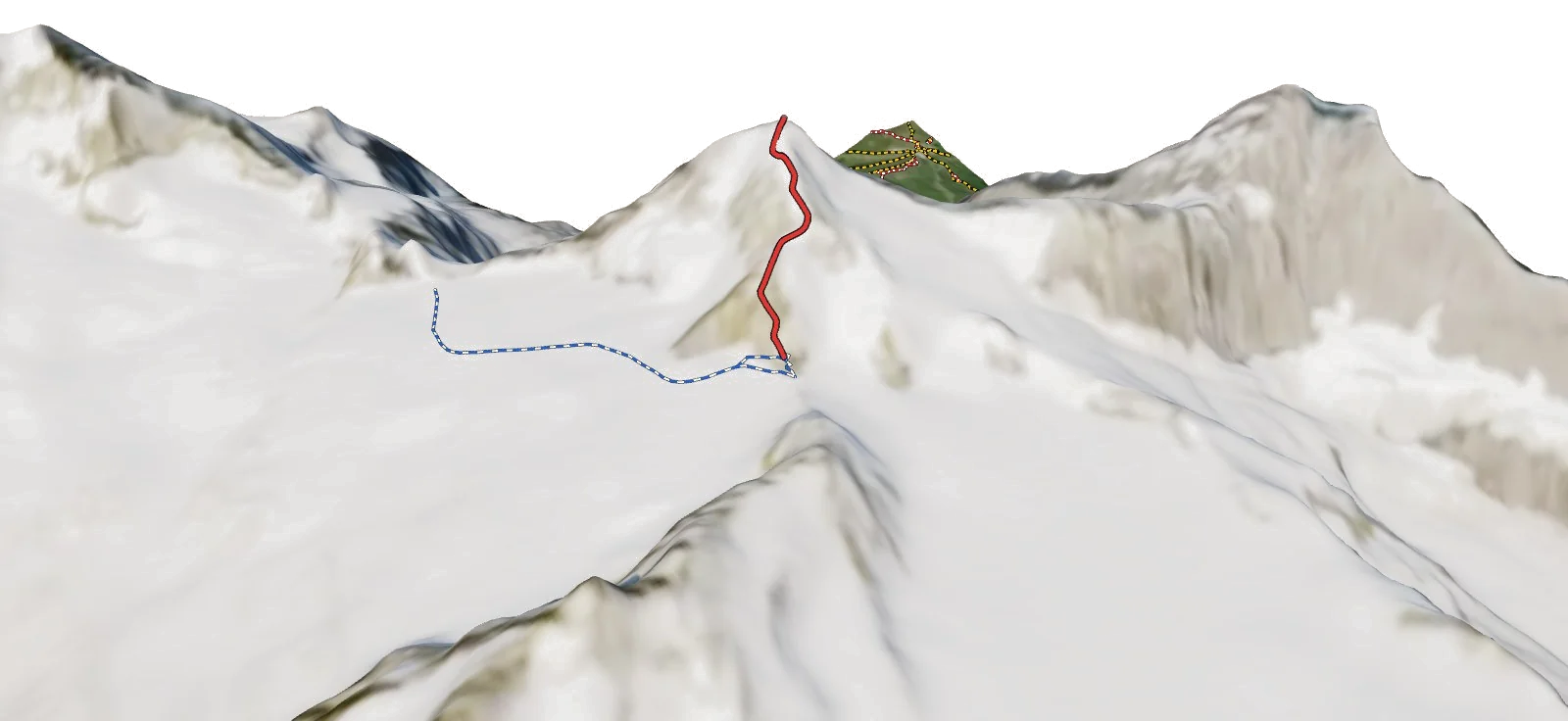
4,107 m · 2.2 km
Walcherhorn
3,692 m · 3.0 km
See Eiger in three dimensions
Open the 3D atlas