
Ski area · Dolomites · 17 lifts
San Pellegrino – Falcade
17 lifts from 1,217 m to 2,515 m in the Dolomites area.
Overview
About San Pellegrino – Falcade
San Pellegrino – Falcade is a ski area in the Dolomites area of the Alps with 17 lifts, from 1,217 m at the lowest station to 2,515 m at the top: 1,298 m of vertical. The main lifts are 2 cable cars, 1 gondolas and 9 chairlifts, with 4 drag lifts for shorter slopes. The map shows 43 named runs: 19 blue, 19 red and 5 black. There are mountain restaurants on the slopes, up to 2,511 m.
On the mountain
Lifts and runs
- 9 chairlifts
- 4 drag lifts
- 2 cable cars
- 1 gondolas
- 1 rope tows and carpets
Runs by colour
- 19 blue
- 19 red
- 5 black
Our picks
Scenic runs
Red
Le Caviette
Intermediate · 3.2 km · 503 m down
from 2,373 m
Why it is worth skiing: it faces Punta Penia (3,343 m), 9 km away and runs for 3.2 km.
- Difficulty
- Intermediate
- Length
- 3.2 km
- Vertical drop
- 503 m
- Top
- 2,373 m
- Bottom
- 1,870 m
- Average gradient
- 16 %
Blue
Innamorati
Easy · 4.0 km · 442 m down
from 2,034 m
Why it is worth skiing: it faces Punta Penia (3,343 m), 11 km away and runs for 4.0 km.
- Difficulty
- Easy
- Length
- 4.0 km
- Vertical drop
- 442 m
- Top
- 2,034 m
- Bottom
- 1,592 m
- Average gradient
- 11 %
Black
La Volata
Difficult · 2.1 km · 566 m down
from 2,441 m
Why it is worth skiing: it faces Punta Penia (3,343 m), 9 km away.
- Difficulty
- Difficult
- Length
- 2.1 km
- Vertical drop
- 566 m
- Top
- 2,441 m
- Bottom
- 1,875 m
- Average gradient
- 27 %
Red
Lago Cavia
Intermediate · 2.3 km · 387 m down
from 2,510 m
Why it is worth skiing: it starts high at 2,510 m and faces Punta Penia (3,343 m), 9 km away.
- Difficulty
- Intermediate
- Length
- 2.3 km
- Vertical drop
- 387 m
- Top
- 2,510 m
- Bottom
- 2,123 m
- Average gradient
- 17 %
Red
Zingari
Intermediate · 1.7 km · 291 m down
from 2,501 m
Why it is worth skiing: it starts high at 2,501 m and faces Punta Penia (3,343 m), 9 km away.
- Difficulty
- Intermediate
- Length
- 1.7 km
- Vertical drop
- 291 m
- Top
- 2,501 m
- Bottom
- 2,210 m
- Average gradient
- 17 %
Picked from the mapped runs for their length, altitude, vertical drop and the big summits in view. Runs open and close with the snow and the weather: check the resort’s piste report and the avalanche bulletin.
The 3D atlas
Ride the lifts before you go.
See every lift and run of San Pellegrino – Falcade on real 3D terrain in Berg Explorer, and plan your day from top to bottom.
- Turn and tilt every face in real 3D terrain
- Each route traced in colour, with its grade
- Huts, lifts and waymarked trails on the map
- Free, in your browser, no download
Eat
Restaurants on the slopes
On foot
Hikes
Via Alpina Yellow B23
15 km · 7 h 25 · T3
Dolomites World Heritage Geotrail 40
10 km · 6 h 45 · T3
Dolomites World Heritage Geotrail 42
19 km · 8 h 05 · T2
Dolomites World Heritage Geotrail 41
10 km · 4 h 30 · T2
Dolomites World Heritage Geotrail 38
12 km · 7 h 55 · T3
Dolomites World Heritage Geotrail 39
13 km · 6 h 30 · T2
- 9 winterWinter walk · 4.5 km · +14 m · 18 km away
- hwl 528AWinter walk · 3.0 km · +15 m · 20 km away
- 7AWinter walk · 3.0 km · +401 m · 20 km away
- Troi uniKaWinter walk · 1.7 km · +63 m · 21 km away
- 1BWinter walk · 1.2 km · +70 m · 22 km away
- hwl 30 WinterWinter walk · 8.7 km · +234 m · 22 km away
Nearby
Summits
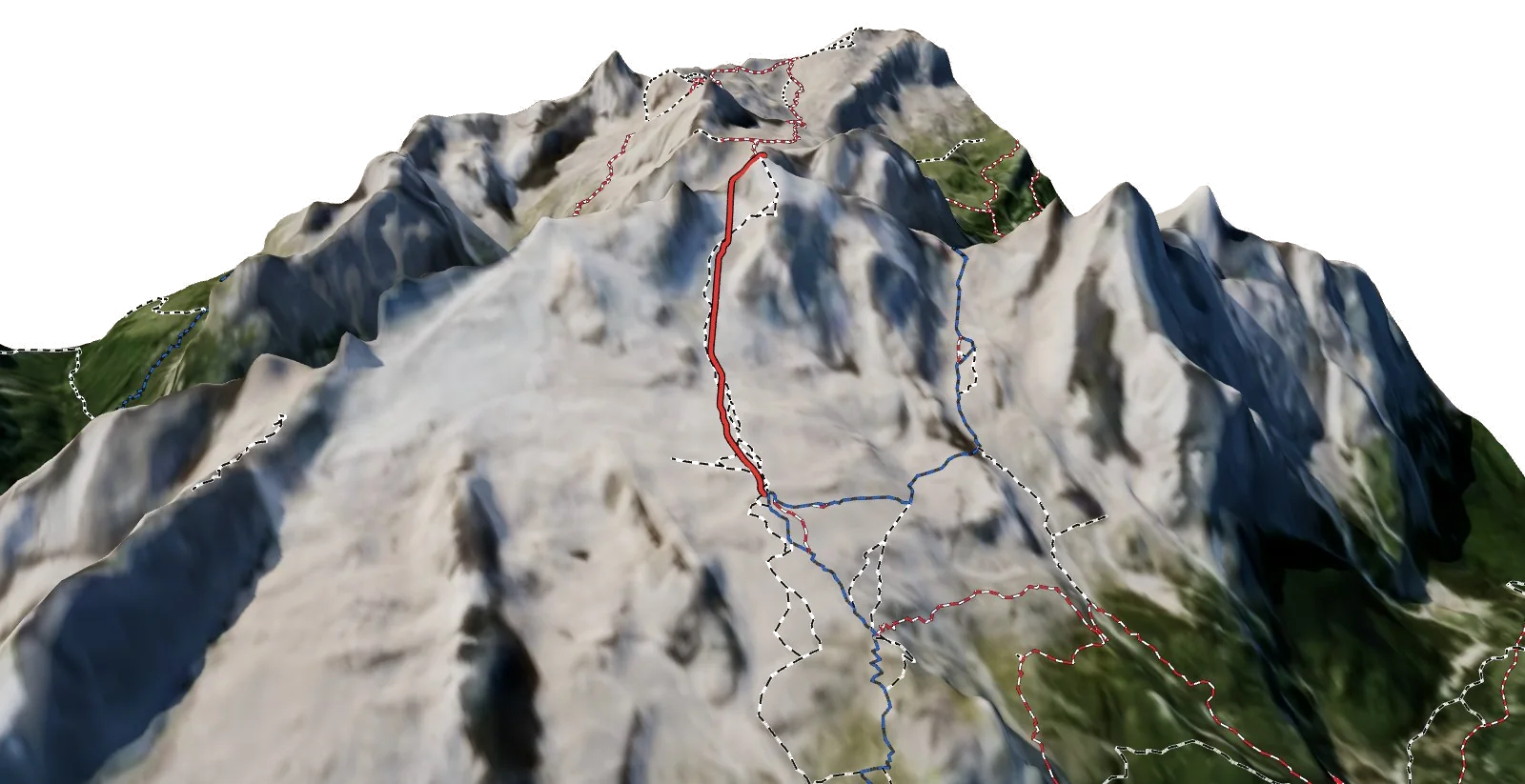
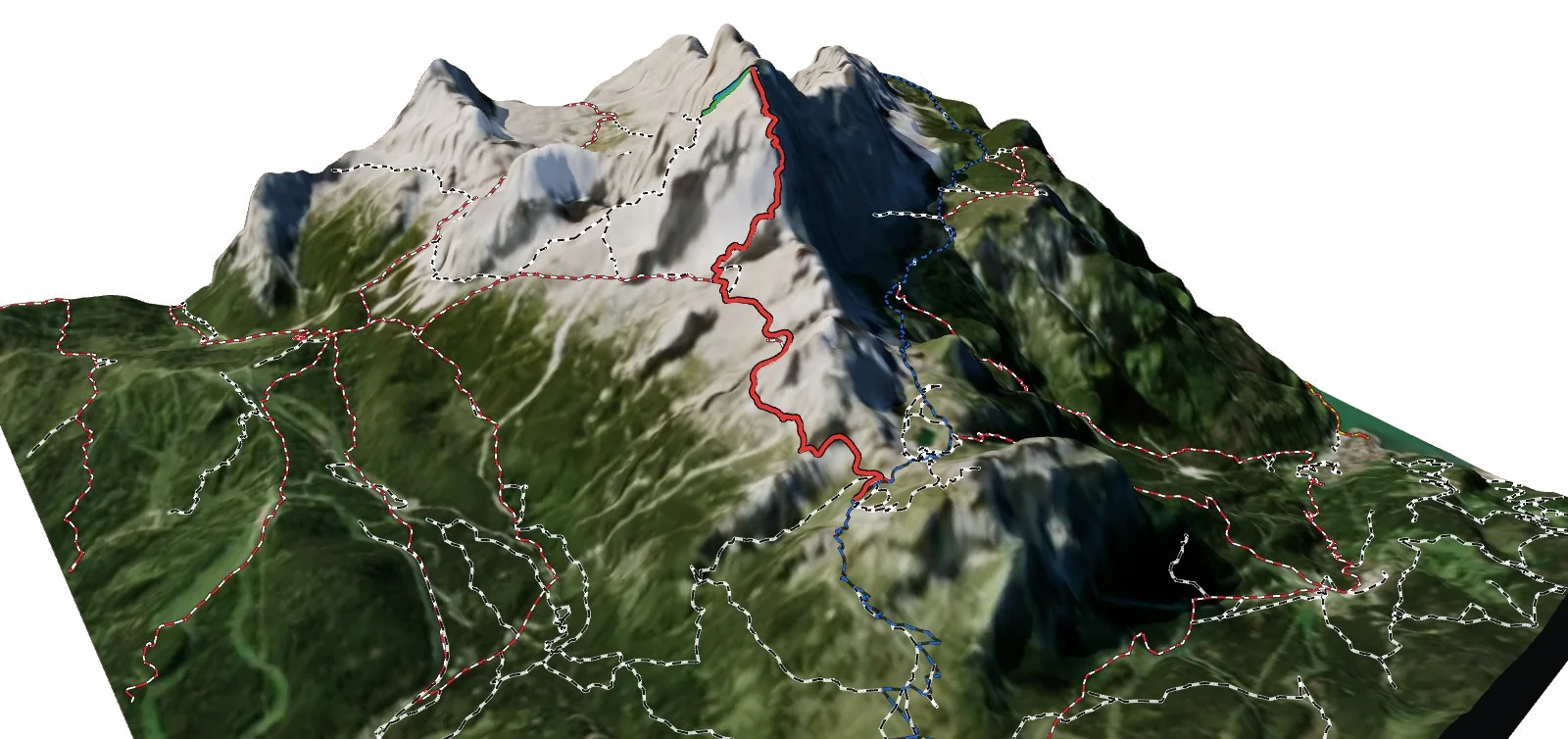
- Col Margherita - Col de Margarita2,549 m · 40 m above the top station
- Monte Pradazzo2,271 m · lift goes to the top
- Cima Toront2,114 m · lift goes to the top