
Ski area · Glarus Alps · 17 lifts
Obersaxen-Mundaun
17 lifts from 1,245 m to 2,266 m in the Glarus Alps area.
Overview
About Obersaxen-Mundaun
Obersaxen-Mundaun is a ski area in the Glarus Alps area of the Alps with 17 lifts, from 1,245 m at the lowest station to 2,266 m at the top: 1,021 m of vertical. The main lifts are 9 chairlifts, with 4 drag lifts for shorter slopes. The map shows 58 named runs: 1 green, 27 blue, 24 red and 6 black. There are mountain restaurants on the slopes, up to 2,139 m.
On the mountain
Lifts and runs
- 9 chairlifts
- 4 rope tows and carpets
- 4 drag lifts
Runs by colour
- 1 green
- 27 blue
- 24 red
- 6 black
Our picks
Scenic runs
Red
Piz Sezner - Lumbrein
Intermediate · 3.9 km · 712 m down
from 2,137 m
Why it is worth skiing: it drops 712 m in one go and runs for 3.9 km.
- Difficulty
- Intermediate
- Length
- 3.9 km
- Vertical drop
- 712 m
- Top
- 2,137 m
- Bottom
- 1,425 m
- Average gradient
- 18 %
Red
Piz Sezner - Vignogn
Intermediate · 3.3 km · 732 m down
from 1,976 m
Why it is worth skiing: it drops 732 m in one go and runs for 3.3 km.
- Difficulty
- Intermediate
- Length
- 3.3 km
- Vertical drop
- 732 m
- Top
- 1,976 m
- Bottom
- 1,244 m
- Average gradient
- 22 %
Blue
Piz Sezner - Wali
Easy · 2.3 km · 567 m down
from 2,267 m
- Difficulty
- Easy
- Length
- 2.3 km
- Vertical drop
- 567 m
- Top
- 2,267 m
- Bottom
- 1,700 m
- Average gradient
- 25 %
Red
Stein - Untermatt
Intermediate · 2.4 km · 419 m down
from 2,149 m
- Difficulty
- Intermediate
- Length
- 2.4 km
- Vertical drop
- 419 m
- Top
- 2,149 m
- Bottom
- 1,730 m
- Average gradient
- 18 %
Red
Hitzeggen - Triel
Intermediate · 2.6 km · 410 m down
from 2,003 m
- Difficulty
- Intermediate
- Length
- 2.6 km
- Vertical drop
- 410 m
- Top
- 2,003 m
- Bottom
- 1,593 m
- Average gradient
- 16 %
Picked from the mapped runs for their length, altitude, vertical drop and the big summits in view. Runs open and close with the snow and the weather: check the resort’s piste report and the avalanche bulletin.
The 3D atlas
Ride the lifts before you go.
See every lift and run of Obersaxen-Mundaun on real 3D terrain in Berg Explorer, and plan your day from top to bottom.
- Turn and tilt every face in real 3D terrain
- Each route traced in colour, with its grade
- Huts, lifts and waymarked trails on the map
- Free, in your browser, no download
Eat
Restaurants on the slopes
On foot
Hikes
- Masanenga-Wali_KartitschaWinter walk · 9.7 km · +457 m
- Winterwanderweg Cuolm Sura - Bündner RigiWinter walk · 1.5 km · +65 m
- Winterrundwanderung MorissenWinter walk · 5.5 km · +289 m
- Senda d'unviern TrielWinter walk · 9.9 km · +390 m
- Auen-Rundweg Ilanz-CastrischWinter walk · 10.2 km · +255 m
- Winterwanderweg Siat–FaleraWinter walk · 9.4 km · +465 m
Nearby
Summits
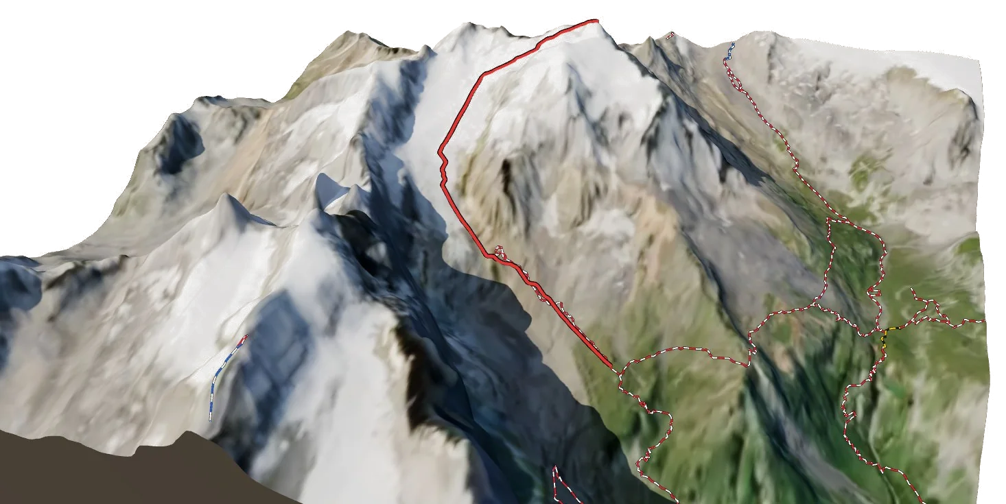
- Piz Sezner2,310 m · 44 m above the top station
- Stein2,172 m · lift goes to the top
- Hitzeggerkopf2,112 m · lift goes to the top
- Piz Plauncas2,089 m · lift goes to the top
- Piz Mundaun2,064 m · lift goes to the top