
Ski area · Glarus Alps · 10 lifts
Brigels Waltensburg Andiast
10 lifts from 1,101 m to 2,413 m in the Glarus Alps area.
Overview
About Brigels Waltensburg Andiast
Brigels Waltensburg Andiast is a ski area in the Glarus Alps area of the Alps with 10 lifts, from 1,101 m at the lowest station to 2,413 m at the top: 1,312 m of vertical. The main lifts are 4 chairlifts, with 4 drag lifts for shorter slopes. The map shows 26 named runs: 4 blue, 18 red and 4 black. There are mountain restaurants on the slopes, up to 2,067 m.
On the mountain
Lifts and runs
- 4 drag lifts
- 4 chairlifts
- 2 rope tows and carpets
Runs by colour
- 4 blue
- 18 red
- 4 black
Our picks
Scenic runs
Red
Talabfahrt Waltensburg
Intermediate · 2.8 km · 555 m down
from 1,657 m
- Difficulty
- Intermediate
- Length
- 2.8 km
- Vertical drop
- 555 m
- Top
- 1,657 m
- Bottom
- 1,102 m
- Average gradient
- 20 %
Red
La Cauma
Intermediate · 2.0 km · 475 m down
from 2,246 m
- Difficulty
- Intermediate
- Length
- 2.0 km
- Vertical drop
- 475 m
- Top
- 2,246 m
- Bottom
- 1,771 m
- Average gradient
- 24 %
Red
Um Crap
Intermediate · 1.5 km · 357 m down
from 2,411 m
- Difficulty
- Intermediate
- Length
- 1.5 km
- Vertical drop
- 357 m
- Top
- 2,411 m
- Bottom
- 2,054 m
- Average gradient
- 24 %
Red
Alp Dado
Intermediate · 1.7 km · 380 m down
from 2,235 m
- Difficulty
- Intermediate
- Length
- 1.7 km
- Vertical drop
- 380 m
- Top
- 2,235 m
- Bottom
- 1,855 m
- Average gradient
- 22 %
Red
Talabfahrt Brigels
Intermediate · 2.0 km · 400 m down
from 1,657 m
- Difficulty
- Intermediate
- Length
- 2.0 km
- Vertical drop
- 400 m
- Top
- 1,657 m
- Bottom
- 1,257 m
- Average gradient
- 20 %
Picked from the mapped runs for their length, altitude, vertical drop and the big summits in view. Runs open and close with the snow and the weather: check the resort’s piste report and the avalanche bulletin.
The 3D atlas
Ride the lifts before you go.
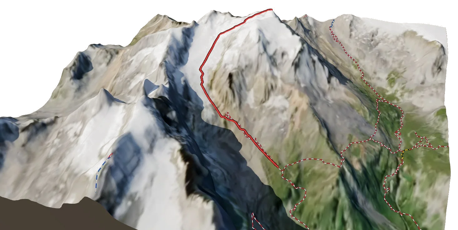
See every lift and run of Brigels Waltensburg Andiast on real 3D terrain in Berg Explorer, and plan your day from top to bottom.
- Turn and tilt every face in real 3D terrain
- Each route traced in colour, with its grade
- Huts, lifts and waymarked trails on the map
- Free, in your browser, no download
Eat
Restaurants on the slopes
On foot
Hikes
- Masanenga-Wali_KartitschaWinter walk · 9.7 km · +457 m
- Winterwanderweg Cuolm Sura - Bündner RigiWinter walk · 1.5 km · +65 m
- Crap Sogn Gion <-> Crap MasegnWinter walk · 3.0 km · +9 m
- Winterrundwanderung MorissenWinter walk · 5.5 km · +289 m
- Senda d'unviern TrielWinter walk · 9.9 km · +390 m
- Auen-Rundweg Ilanz-CastrischWinter walk · 10.2 km · +255 m
Nearby
Summits
No summits can be reached by lift here.