
Ski area · Bernese Alps · 13 lifts
Anzère
13 lifts from 1,517 m to 2,410 m in the Bernese Alps area.
Overview
About Anzère
Anzère is a ski area in the Bernese Alps area of the Alps with 13 lifts, from 1,517 m at the lowest station to 2,410 m at the top: 893 m of vertical. The main lifts are 2 gondolas and 3 chairlifts, with 5 drag lifts for shorter slopes. The map shows 48 named runs: 3 green, 18 blue, 16 red and 8 black, plus 2 marked ski routes off the groomed pistes. There are mountain restaurants on the slopes, up to 2,001 m.
On the mountain
Lifts and runs
- 5 drag lifts
- 3 rope tows and carpets
- 3 chairlifts
- 2 gondolas
Runs by colour
- 3 green
- 18 blue
- 16 red
- 8 black
- 2 ski routes
Our picks
Scenic runs
Black
Les Masques inférieur
Difficult · 1.7 km · 516 m down
from 2,079 m
- Difficulty
- Difficult
- Length
- 1.7 km
- Vertical drop
- 516 m
- Top
- 2,079 m
- Bottom
- 1,563 m
- Average gradient
- 30 %
Red
La Combe
Intermediate · 1.2 km · 286 m down
from 2,375 m
- Difficulty
- Intermediate
- Length
- 1.2 km
- Vertical drop
- 286 m
- Top
- 2,375 m
- Bottom
- 2,089 m
- Average gradient
- 24 %
Red
La Chaux
Intermediate · 1.5 km · 283 m down
from 2,198 m
- Difficulty
- Intermediate
- Length
- 1.5 km
- Vertical drop
- 283 m
- Top
- 2,198 m
- Bottom
- 1,915 m
- Average gradient
- 18 %
Black
Les Masques supérieur
Difficult · 1.0 km · 299 m down
from 2,362 m
- Difficulty
- Difficult
- Length
- 1.0 km
- Vertical drop
- 299 m
- Top
- 2,362 m
- Bottom
- 2,063 m
- Average gradient
- 31 %
Route
La Raphy
Ski route · 1.2 km · 423 m down
from 2,292 m
- Difficulty
- Ski route
- Length
- 1.2 km
- Vertical drop
- 423 m
- Top
- 2,292 m
- Bottom
- 1,869 m
- Average gradient
- 35 %
Picked from the mapped runs for their length, altitude, vertical drop and the big summits in view. Runs open and close with the snow and the weather: check the resort’s piste report and the avalanche bulletin.
The 3D atlas
Ride the lifts before you go.
See every lift and run of Anzère on real 3D terrain in Berg Explorer, and plan your day from top to bottom.
- Turn and tilt every face in real 3D terrain
- Each route traced in colour, with its grade
- Huts, lifts and waymarked trails on the map
- Free, in your browser, no download
Eat
Restaurants on the slopes
On foot
Hikes
- Parcours de l'alpage de Chandolin N°1Winter walk · 4.9 km · +234 m · 17 km away
- Winterwanderweg LämmernebodenWinter walk · 1.4 km · +13 m · 17 km away
- St-Luc : Chemin de Prosper depuis St-Luc N°3AWinter walk · 5.2 km · +545 m · 19 km away
- Winterwanderweg Leukerbad BodmenWinter walk · 2.9 km · +98 m · 19 km away
- Chemin Tignousa–Hôtel WeisshornWinter walk · 5.4 km · +291 m · 19 km away
- Sentier des Teppes N°2Winter walk · 3.6 km · +92 m · 19 km away
Nearby
Summits
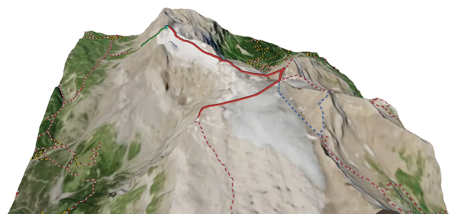
- Le Baté2,421 m · lift goes to the top