
Bivouac · 3,089 m · ★ 3.5
Gruberscharten-Biwak
A bivouac in the Hohe Tauern (Grossglockner, Venediger) area.
Overview
About the hut
Gruberscharten-Biwak is a bivouac, an unstaffed shelter, at 3,089 m in the Hohe Tauern (Grossglockner, Venediger) area. The nearest village is Fusch an der Großglocknerstraße (814 m), about 12 km away and 2,275 m lower. It makes a good base for summits such as Großes Wiesbachhorn, Johannisberg and Klockerin. The atlas rates it 3.5 out of 5, based on its position, altitude, access and the climbs around it. Bivouacs are usually unstaffed: bring your own food and check one is open before relying on it.
At a glance
Why stay, and what to know
Highlights
- Base for 27 summits over 3,000 m within 6 km, including Großes Wiesbachhorn, Johannisberg, Klockerin
- High and wild setting at 3,089 m, with an early start already above most of the climb
- Free, always-open shelter: no booking needed
Good to know
- Long walk in: roughly 1,700 m of ascent from the valley floor
- Unstaffed: bring food, a stove, a sleeping bag and all your water treatment
- Glacier nearby: the approach or onward routes may need a rope and crevasse kit
The 3D atlas
Stand at the door and look up.
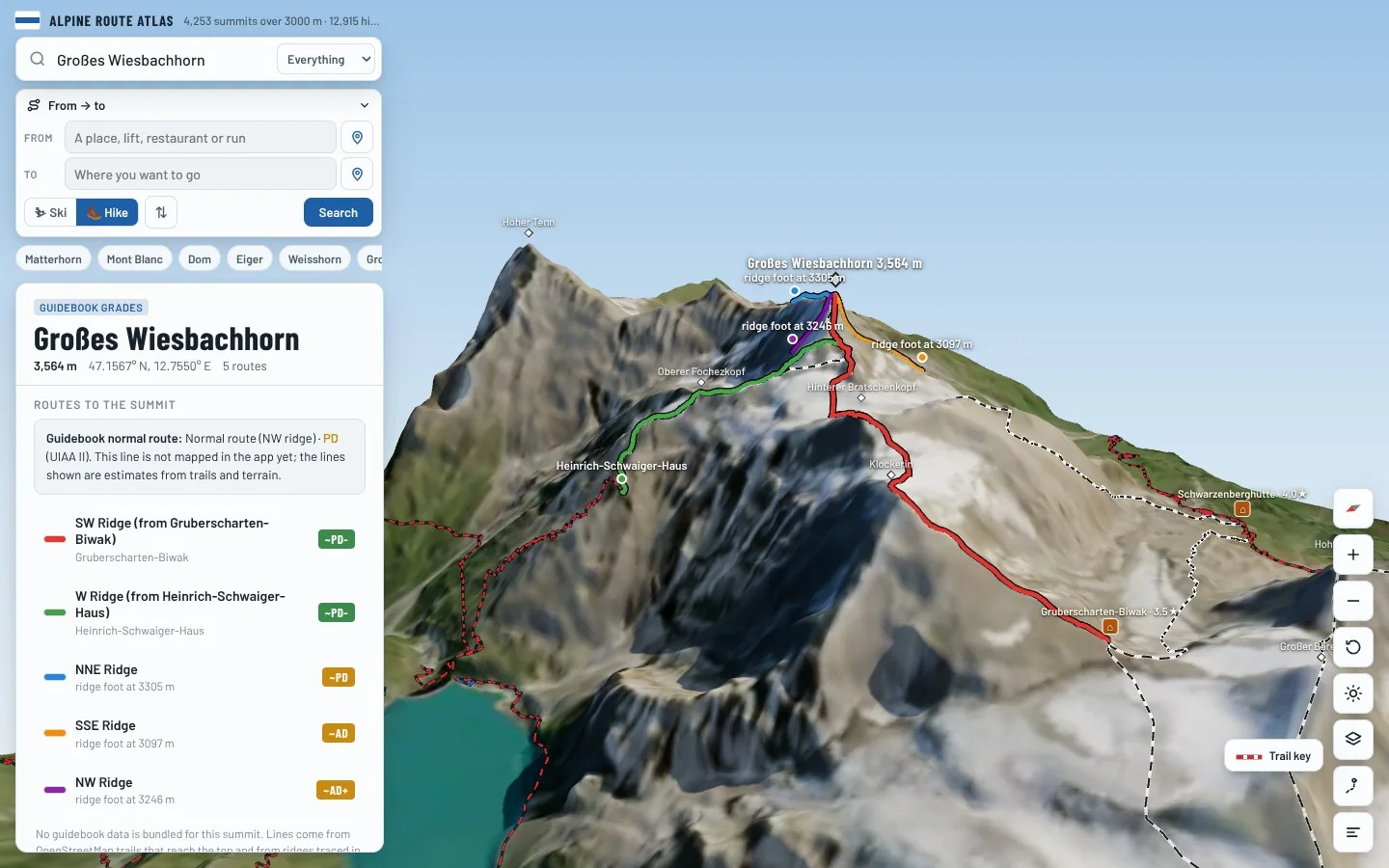
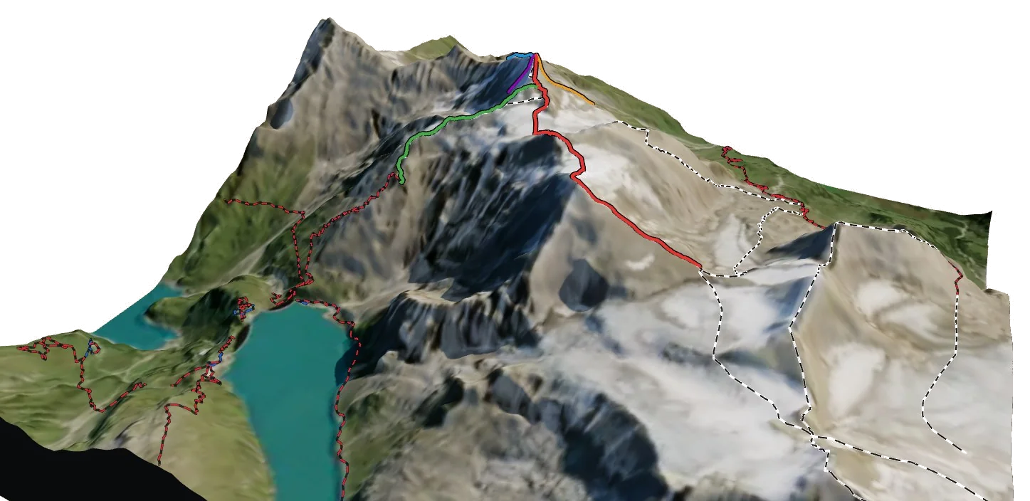
See exactly where Gruberscharten-Biwak sits on the mountain, which routes leave from it and how you reach it, on real 3D terrain.
- Turn and tilt every face in real 3D terrain
- Each route traced in colour, with its grade
- Huts, lifts and waymarked trails on the map
- Free, in your browser, no download
Nearby
Summits from here
On foot
Hikes starting nearby
- AV Weg 7331.6 km · +659 m