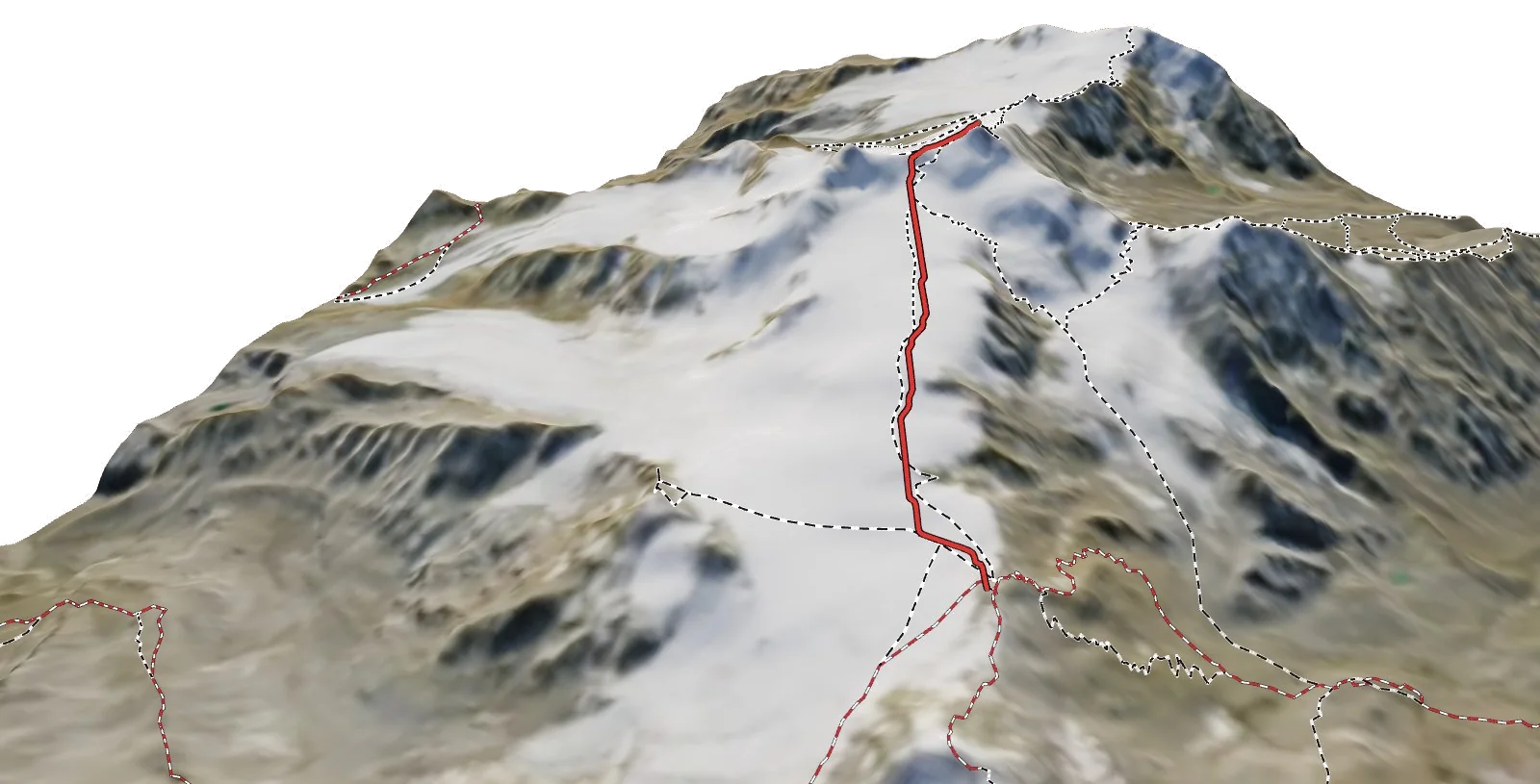
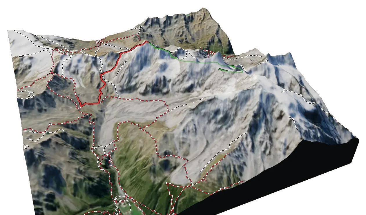
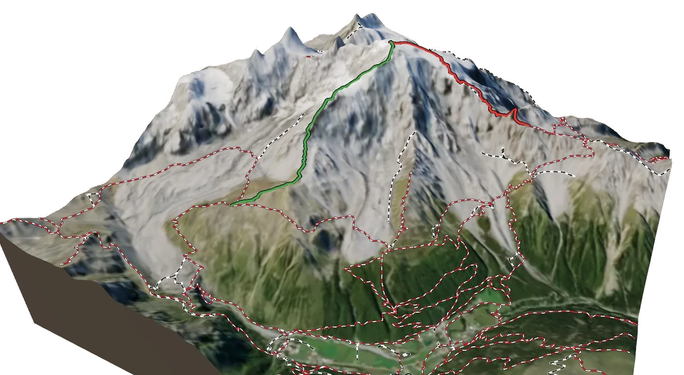
Ortler and Cevedale · 9 km · 6 h 40
Sentiero Panoramico
A 6 h 40 walk of 9.3 km in the Ortler and Cevedale area, graded T4.
Overview
About Sentiero Panoramico
Sentiero Panoramico is a local trail in the Ortler and Cevedale area in Italy. It runs 9.3 km from Rifugio Forni to the trail above Sulden - Solda. Along the way you climb 1,236 m and descend 43 m, between 2,156 m and a high point of 3,352 m. At a steady pace it takes about 6 h 40 of walking. The hardest section is graded T4 on the Swiss hiking scale, alpine hiking: an alpine route, often unmarked in places, with easy scrambling and possibly snow; experience in rough terrain needed. Most of it is easier, around T2. It is waymarked as 528. 2 mountain huts are right on the route, so there are places to eat and sleep on the way. Much of the route has no difficulty tagged in OpenStreetMap, so its grade is estimated from steepness and altitude.
On the trail
The route
Hard
The route
Rifugio Forni → the trail above Sulden - Solda
9 km · 6 h 40
From Rifugio Forni to the trail above Sulden - Solda.
- Distance
- 9.3 km
- Ascent
- +1,236 m
- Descent
- −43 m
- Walking time
- 6 h 40
- Highest point
- 3,352 m
- Lowest point
- 2,156 m
Times are for a steady walker without long breaks, worked out like the atlas does from distance, climb and altitude. Swiss hiking scale: T1 hiking · T2 mountain hiking · T3 demanding mountain hiking · T4 alpine hiking · T5–T6 demanding alpine routes.
The 3D atlas
Walk Sentiero Panoramico before you go.
Follow every stage on real 3D terrain in Berg Explorer: see the climbs, the passes and the huts where each day ends.
- Turn and tilt every face in real 3D terrain
- Each route traced in colour, with its grade
- Huts, lifts and waymarked trails on the map
- Free, in your browser, no download
Where to stay
Huts on the route
Nearby