
Bernina · 704 km · 44 days
Alpenpässe-Weg
A 44-day trek of 704 km in the Bernina area, with 46,336 m of climbing.
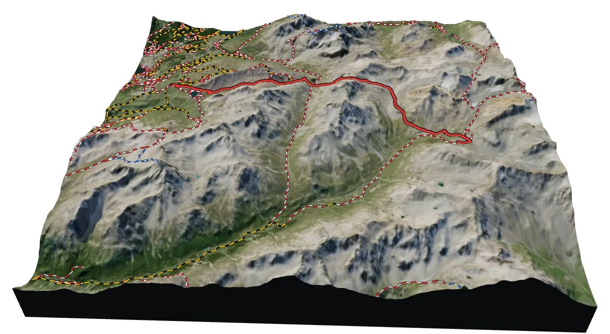
Overview
About Alpenpässe-Weg
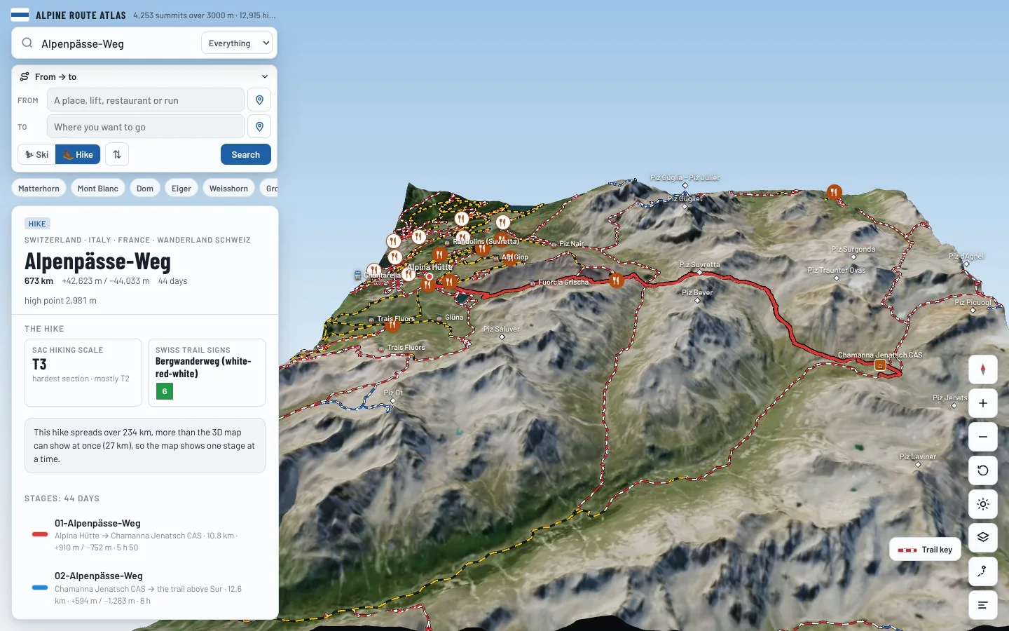
Alpenpässe-Weg is a national long-distance trail in the Bernina area, crossing Switzerland, Italy and France. It runs 703.9 km from Alpina Hütte to the trail above Obergesteln. Along the way you climb 46,336 m and descend 47,238 m, between 371 m and a high point of 2,982 m. At a steady pace it takes about 332 h 45 of walking, usually split over 44 days. The hardest section is graded T3 on the Swiss hiking scale, demanding mountain hiking: a demanding path with steep, exposed sections and sometimes hands needed for balance; sure-footedness required. Most of it is easier, around T2. It is waymarked as 6 and looked after by Wanderland Schweiz. 12 mountain huts are right on the route, so there are places to eat and sleep on the way. It passes over Tête du Sarshlau, Piz Sezner and Stein.
On the trail
44 stages
Medium
01-Alpenpässe-Weg
Alpina Hütte → Chamanna Jenatsch CAS
11 km · 5 h 50
From Alpina Hütte to Chamanna Jenatsch CAS. The day ends at Chamanna Jenatsch CAS, a mountain hut: book ahead in summer.
- Distance
- 10.8 km
- Ascent
- +910 m
- Descent
- −752 m
- Walking time
- 5 h 50
- Highest point
- 2,961 m
- Lowest point
- 2,478 m
Medium
02-Alpenpässe-Weg
Chamanna Jenatsch CAS → the trail above Sur
13 km · 6 h
From Chamanna Jenatsch CAS to the trail above Sur.
- Distance
- 12.6 km
- Ascent
- +594 m
- Descent
- −1,263 m
- Walking time
- 6 h
- Highest point
- 2,972 m
- Lowest point
- 1,971 m
Hard
03-Alpenpässe-Weg
the trail above Sur → Savognin
19 km · 7 h 55
From the trail above Sur to Savognin.
- Distance
- 19.3 km
- Ascent
- +806 m
- Descent
- −1,578 m
- Walking time
- 7 h 55
- Highest point
- 2,466 m
- Lowest point
- 1,207 m
Hard
The route
Savognin → Ausserferrera
21 km · 9 h 20
From Savognin to Ausserferrera.
- Distance
- 20.7 km
- Ascent
- +1,388 m
- Descent
- −1,306 m
- Walking time
- 9 h 20
- Highest point
- 2,564 m
- Lowest point
- 1,216 m
Medium
The route
Ausserferrera → Splügen
11 km · 5 h 40
From Ausserferrera to Splügen.
- Distance
- 11.0 km
- Ascent
- +971 m
- Descent
- −744 m
- Walking time
- 5 h 40
- Highest point
- 2,005 m
- Lowest point
- 1,285 m
Medium
06-Alpenpässe-Weg
Splügen → the trail near Camanaboda
13 km · 6 h 15
From Splügen to the trail near Camanaboda.
- Distance
- 13.3 km
- Ascent
- +999 m
- Descent
- −800 m
- Walking time
- 6 h 15
- Highest point
- 2,482 m
- Lowest point
- 1,491 m
Hard
07-Alpenpässe-Weg
the trail near Camanaboda → Vella
24 km · 10 h 05
From the trail near Camanaboda to Vella.
- Distance
- 24.5 km
- Ascent
- +1,234 m
- Descent
- −1,707 m
- Walking time
- 10 h 05
- Highest point
- 2,464 m
- Lowest point
- 878 m
Hard
08-Alpenpässe-Weg
Vella → Vrin
20 km · 8 h 30
From Vella to Vrin.
- Distance
- 19.8 km
- Ascent
- +1,301 m
- Descent
- −1,089 m
- Walking time
- 8 h 30
- Highest point
- 2,304 m
- Lowest point
- 1,286 m
Medium
09-Alpenpässe-Weg
Vrin → Capanna Scaletta SAT
15 km · 6 h 35
From Vrin to Capanna Scaletta SAT. The day ends at Capanna Scaletta SAT, a mountain hut: book ahead in summer.
- Distance
- 14.7 km
- Ascent
- +1,167 m
- Descent
- −561 m
- Walking time
- 6 h 35
- Highest point
- 2,430 m
- Lowest point
- 1,625 m
Medium
10-Sentiero dei passi alpini
Capanna Scaletta SAT → Capanna Bovarina UTOE
13 km · 5 h 40
From Capanna Scaletta SAT to Capanna Bovarina UTOE. The day ends at Capanna Bovarina UTOE, a mountain hut: book ahead in summer.
- Distance
- 13.2 km
- Ascent
- +683 m
- Descent
- −1,041 m
- Walking time
- 5 h 40
- Highest point
- 2,239 m
- Lowest point
- 1,206 m
Hard
11-Sentiero dei passi alpini
Capanna Bovarina UTOE → Capanna Cadagno
16 km · 7 h 35
From Capanna Bovarina UTOE to Capanna Cadagno. The day ends at Capanna Cadagno, a mountain hut: book ahead in summer.
- Distance
- 16.2 km
- Ascent
- +1,149 m
- Descent
- −1,045 m
- Walking time
- 7 h 35
- Highest point
- 2,433 m
- Lowest point
- 1,804 m
Medium
12-Sentiero dei passi alpini
Capanna Cadagno → Airolo
13 km · 4 h 20
From Capanna Cadagno to Airolo.
- Distance
- 13.4 km
- Ascent
- +141 m
- Descent
- −955 m
- Walking time
- 4 h 20
- Highest point
- 1,982 m
- Lowest point
- 1,143 m
Hard
13-Sentiero dei passi alpini
Airolo → Capanna Corno Gries
25 km · 9 h 30
From Airolo to Capanna Corno Gries. The day ends at Capanna Corno Gries, a mountain hut: book ahead in summer.
- Distance
- 24.8 km
- Ascent
- +1,764 m
- Descent
- −597 m
- Walking time
- 9 h 30
- Highest point
- 2,332 m
- Lowest point
- 1,165 m
Hard
14-Sentiero dei passi alpini
Capanna Corno Gries → Rifugio Margaroli
16 km · 7 h 20
From Capanna Corno Gries to Rifugio Margaroli. The day ends at Rifugio Margaroli, a mountain hut: book ahead in summer.
- Distance
- 15.7 km
- Ascent
- +1,000 m
- Descent
- −1,145 m
- Walking time
- 7 h 20
- Highest point
- 2,580 m
- Lowest point
- 1,829 m
Hard
15-Chemin des cols alpins
Rifugio Margaroli → Schmidighischere
20 km · 7 h 40
From Rifugio Margaroli to Schmidighischere.
- Distance
- 19.5 km
- Ascent
- +748 m
- Descent
- −1,525 m
- Walking time
- 7 h 40
- Highest point
- 2,597 m
- Lowest point
- 1,412 m
Hard
16-Alpenpässe-Weg
Schmidighischere → Rosswald
16 km · 7 h 25
From Schmidighischere to Rosswald.
- Distance
- 16.3 km
- Ascent
- +1,265 m
- Descent
- −793 m
- Walking time
- 7 h 25
- Highest point
- 2,562 m
- Lowest point
- 1,313 m
Hard
17-Alpenpässe-Weg
Rosswald → the trail above Simplon Dorf
18 km · 7 h
From Rosswald to the trail above Simplon Dorf.
- Distance
- 18.2 km
- Ascent
- +1,011 m
- Descent
- −859 m
- Walking time
- 7 h
- Highest point
- 2,310 m
- Lowest point
- 1,870 m
Hard
18-Alpenpässe-Weg
the trail above Simplon Dorf → Gspon
23 km · 7 h 55
From the trail above Simplon Dorf to Gspon.
- Distance
- 23.0 km
- Ascent
- +913 m
- Descent
- −1,021 m
- Walking time
- 7 h 55
- Highest point
- 2,481 m
- Lowest point
- 1,891 m
Medium
19-Alpenpässe-Weg
Gspon → Saas-Fee
17 km · 6 h 25
From Gspon to Saas-Fee.
- Distance
- 16.8 km
- Ascent
- +829 m
- Descent
- −922 m
- Walking time
- 6 h 25
- Highest point
- 2,277 m
- Lowest point
- 1,563 m
Hard
20-Alpenpässse-Weg
Saas-Fee → Grächen
19 km · 8 h 35
From Saas-Fee to Grächen.
- Distance
- 19.0 km
- Ascent
- +1,176 m
- Descent
- −1,333 m
- Walking time
- 8 h 35
- Highest point
- 2,394 m
- Lowest point
- 1,650 m
Hard
21-Alpenpässe-Weg
Grächen → Gruben
21 km · 11 h 30
From Grächen to Gruben.
- Distance
- 20.6 km
- Ascent
- +1,857 m
- Descent
- −1,640 m
- Walking time
- 11 h 30
- Highest point
- 2,887 m
- Lowest point
- 1,097 m
Medium
22-Alpenpässe-Weg
Gruben → the trail above Saint-Luc
10 km · 6 h
From Gruben to the trail above Saint-Luc.
- Distance
- 10.2 km
- Ascent
- +1,108 m
- Descent
- −589 m
- Walking time
- 6 h
- Highest point
- 2,785 m
- Lowest point
- 1,822 m
Medium
23-Chemin des cols alpins
the trail above Saint-Luc → Grimentz
12 km · 4 h 55
From the trail above Saint-Luc to Grimentz.
- Distance
- 11.5 km
- Ascent
- +388 m
- Descent
- −1,156 m
- Walking time
- 4 h 55
- Highest point
- 2,426 m
- Lowest point
- 1,397 m
Hard
24-Chemin des cols alpins
Grimentz → the trail above Eison (St-Martin)
9 km · 5 h 45
From Grimentz to the trail above Eison (St-Martin).
- Distance
- 9.2 km
- Ascent
- +1,416 m
- Descent
- −41 m
- Walking time
- 5 h 45
- Highest point
- 2,976 m
- Lowest point
- 1,601 m
Medium
25-Chemin des cols alpins
the trail above Eison (St-Martin) → Evolène
10 km · 4 h 35
From the trail above Eison (St-Martin) to Evolène.
- Distance
- 10.3 km
- Ascent
- +38 m
- Descent
- −1,626 m
- Walking time
- 4 h 35
- Highest point
- 2,976 m
- Lowest point
- 1,388 m
Medium
26-Chemin des cols alpins
Evolène → Arolla
14 km · 6 h 50
From Evolène to Arolla.
- Distance
- 14.0 km
- Ascent
- +1,282 m
- Descent
- −617 m
- Walking time
- 6 h 50
- Highest point
- 2,296 m
- Lowest point
- 1,344 m
Medium
27-Chemin des cols alpins
Arolla → the trail above Arolla
8 km · 4 h 35
From Arolla to the trail above Arolla.
- Distance
- 8.3 km
- Ascent
- +918 m
- Descent
- −304 m
- Walking time
- 4 h 35
- Highest point
- 2,905 m
- Lowest point
- 2,029 m
Medium
28-Chemin des cols alpins
the trail above Arolla → Cabane Prafleuri
9 km · 3 h 35
From the trail above Arolla to Cabane Prafleuri. The day ends at Cabane Prafleuri, a mountain hut: book ahead in summer.
- Distance
- 9.3 km
- Ascent
- +470 m
- Descent
- −458 m
- Walking time
- 3 h 35
- Highest point
- 2,800 m
- Lowest point
- 2,373 m
Medium
29-Chemin des cols alpins
Cabane Prafleuri → Cabane de Louvie
11 km · 5 h 35
From Cabane Prafleuri to Cabane de Louvie. The day ends at Cabane de Louvie, a mountain hut: book ahead in summer.
- Distance
- 10.7 km
- Ascent
- +644 m
- Descent
- −1,069 m
- Walking time
- 5 h 35
- Highest point
- 2,981 m
- Lowest point
- 2,216 m
Medium
30-Chemin des cols alpins
Cabane de Louvie → the trail above Fionnay
10 km · 6 h 05
From Cabane de Louvie to the trail above Fionnay.
- Distance
- 10.2 km
- Ascent
- +797 m
- Descent
- −1,168 m
- Walking time
- 6 h 05
- Highest point
- 2,615 m
- Lowest point
- 1,726 m
Hard
31-Chemin des cols alpins
the trail above Fionnay → Cabane Brunet
13 km · 7 h
From the trail above Fionnay to Cabane Brunet. The day ends at Cabane Brunet, a mountain hut: book ahead in summer.
- Distance
- 12.9 km
- Ascent
- +1,150 m
- Descent
- −903 m
- Walking time
- 7 h
- Highest point
- 2,868 m
- Lowest point
- 1,853 m
Hard
32-Chemin des cols alpins
Cabane Brunet → Bourg-Saint-Pierre
18 km · 7 h 05
From Cabane Brunet to Bourg-Saint-Pierre.
- Distance
- 17.9 km
- Ascent
- +770 m
- Descent
- −1,247 m
- Walking time
- 7 h 05
- Highest point
- 2,553 m
- Lowest point
- 1,625 m
Medium
33-Chemin des cols alpins
Bourg-Saint-Pierre → the trail above Saint-Rhémy-en-Bosses
11 km · 4 h 50
From Bourg-Saint-Pierre to the trail above Saint-Rhémy-en-Bosses.
- Distance
- 11.1 km
- Ascent
- +1,009 m
- Descent
- −191 m
- Walking time
- 4 h 50
- Highest point
- 2,460 m
- Lowest point
- 1,601 m
Medium
34-Chemin des cols alpins
the trail above Saint-Rhémy-en-Bosses → La Fouly
14 km · 6 h 40
From the trail above Saint-Rhémy-en-Bosses to La Fouly.
- Distance
- 14.1 km
- Ascent
- +637 m
- Descent
- −1,483 m
- Walking time
- 6 h 40
- Highest point
- 2,753 m
- Lowest point
- 1,616 m
Medium
Chemin des cols alpins
La Fouly → Champex-Lac
14 km · 4 h 55
From La Fouly to Champex-Lac.
- Distance
- 14.1 km
- Ascent
- +585 m
- Descent
- −715 m
- Walking time
- 4 h 55
- Highest point
- 1,603 m
- Lowest point
- 1,056 m
Medium
36-Chemin des cols alpins
Champex-Lac → Trient
15 km · 6 h 20
From Champex-Lac to Trient.
- Distance
- 15.1 km
- Ascent
- +843 m
- Descent
- −1,001 m
- Walking time
- 6 h 20
- Highest point
- 2,044 m
- Lowest point
- 1,312 m
Hard
37-Chemin des cols alpins
Trient → the trail above Finhaut
14 km · 8 h 20
From Trient to the trail above Finhaut.
- Distance
- 13.9 km
- Ascent
- +1,600 m
- Descent
- −975 m
- Walking time
- 8 h 20
- Highest point
- 2,065 m
- Lowest point
- 1,107 m
Medium
38-Chemin des cols alpins
the trail above Finhaut → the trail above Les Granges (Salvan)
10 km · 6 h 30
From the trail above Finhaut to the trail above Les Granges (Salvan).
- Distance
- 9.7 km
- Ascent
- +1,027 m
- Descent
- −1,058 m
- Walking time
- 6 h 30
- Highest point
- 2,472 m
- Lowest point
- 1,894 m
Hard
39-Chemin des cols alpins
the trail above Les Granges (Salvan) → the trail above Champéry
14 km · 7 h 05
From the trail above Les Granges (Salvan) to the trail above Champéry.
- Distance
- 14.3 km
- Ascent
- +885 m
- Descent
- −1,325 m
- Walking time
- 7 h 05
- Highest point
- 2,506 m
- Lowest point
- 1,486 m
Hard
40-Chemin des cols alpins
the trail above Champéry → Morgins
20 km · 7 h 20
From the trail above Champéry to Morgins.
- Distance
- 20.1 km
- Ascent
- +920 m
- Descent
- −1,070 m
- Walking time
- 7 h 20
- Highest point
- 2,048 m
- Lowest point
- 1,343 m
Medium
41-Chemin des cols alpins
Morgins → Torgon
11 km · 4 h
From Morgins to Torgon.
- Distance
- 11.2 km
- Ascent
- +302 m
- Descent
- −855 m
- Walking time
- 4 h
- Highest point
- 1,787 m
- Lowest point
- 1,120 m
Medium
42-Chemin des cols alpins
Torgon → the trail above Miex
9 km · 4 h 30
From Torgon to the trail above Miex.
- Distance
- 8.9 km
- Ascent
- +806 m
- Descent
- −554 m
- Walking time
- 4 h 30
- Highest point
- 1,681 m
- Lowest point
- 1,164 m
Medium
43-Chemin des cols alpins
the trail above Miex → the trail near Les Évouettes
13 km · 6 h 15
From the trail above Miex to the trail near Les Évouettes.
- Distance
- 12.6 km
- Ascent
- +534 m
- Descent
- −1,578 m
- Walking time
- 6 h 15
- Highest point
- 1,848 m
- Lowest point
- 372 m
Hard
14a-Sentiero dei passi alpini
the trail near Les Évouettes → the trail above Obergesteln
40 km · 15 h 10
From the trail near Les Évouettes to the trail above Obergesteln.
- Distance
- 40.2 km
- Ascent
- +2,588 m
- Descent
- −1,374 m
- Walking time
- 15 h 10
- Highest point
- 2,556 m
- Lowest point
- 1,204 m
Times are for a steady walker without long breaks, worked out like the atlas does from distance, climb and altitude. Swiss hiking scale: T1 hiking · T2 mountain hiking · T3 demanding mountain hiking · T4 alpine hiking · T5–T6 demanding alpine routes.
The 3D atlas
Walk Alpenpässe-Weg before you go.
Follow every stage on real 3D terrain in Berg Explorer: see the climbs, the passes and the huts where each day ends.
- Turn and tilt every face in real 3D terrain
- Each route traced in colour, with its grade
- Huts, lifts and waymarked trails on the map
- Free, in your browser, no download
Where to stay
Huts on the route
Nearby
Summits close by
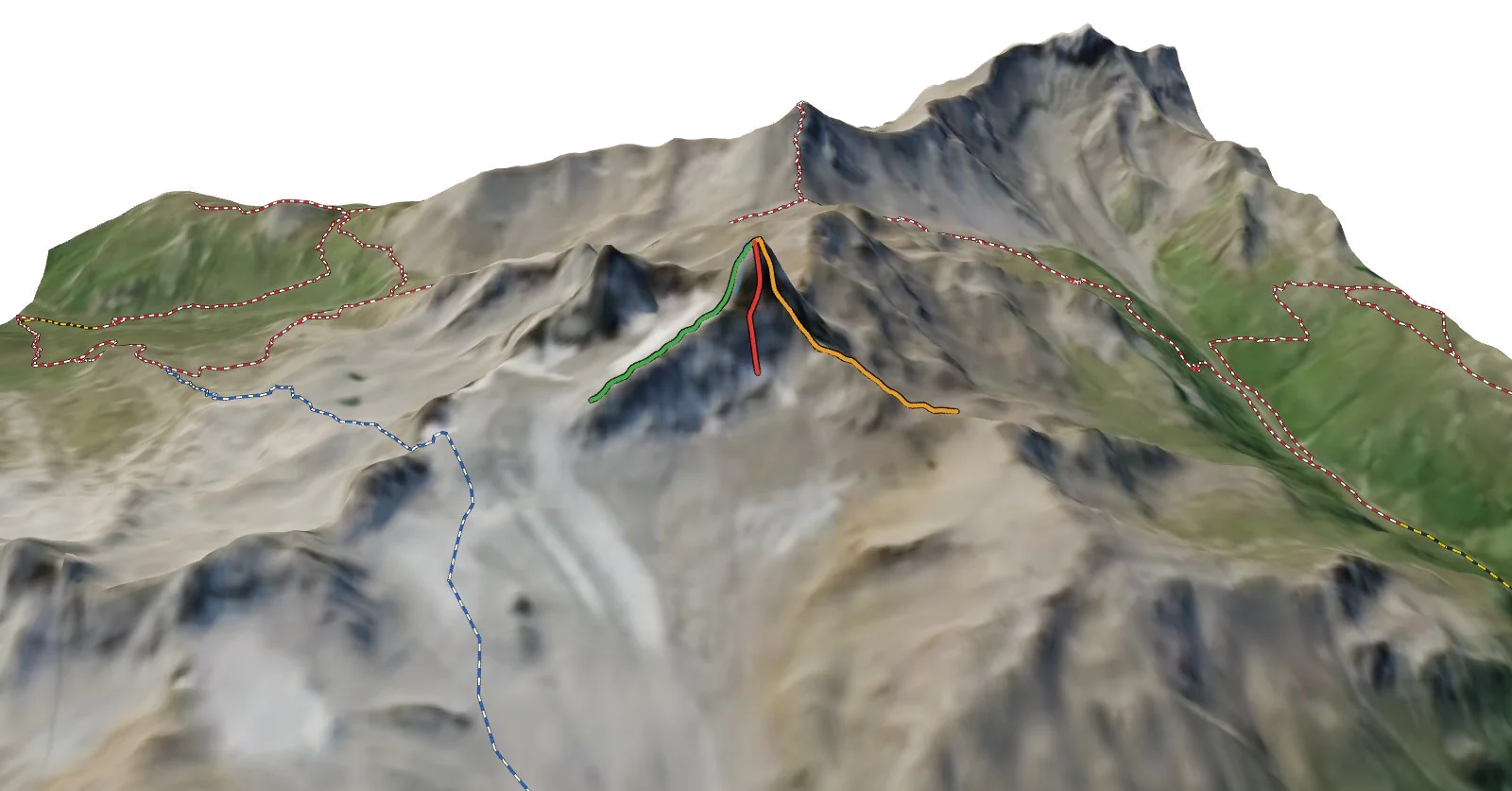
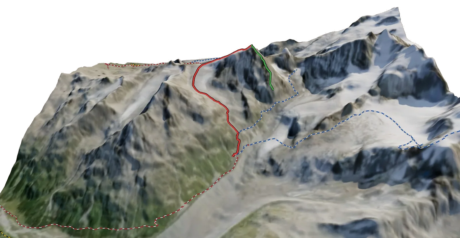
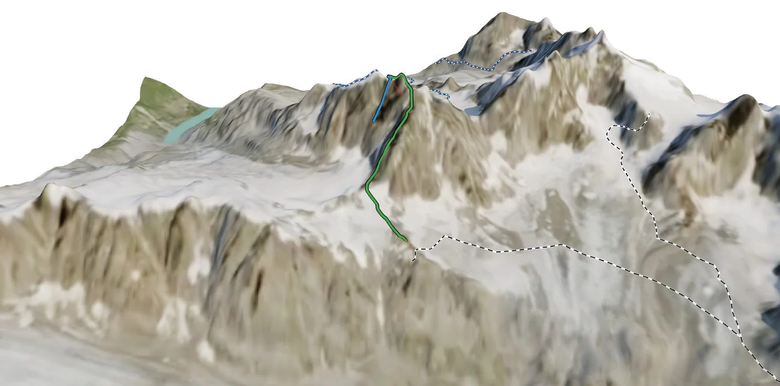
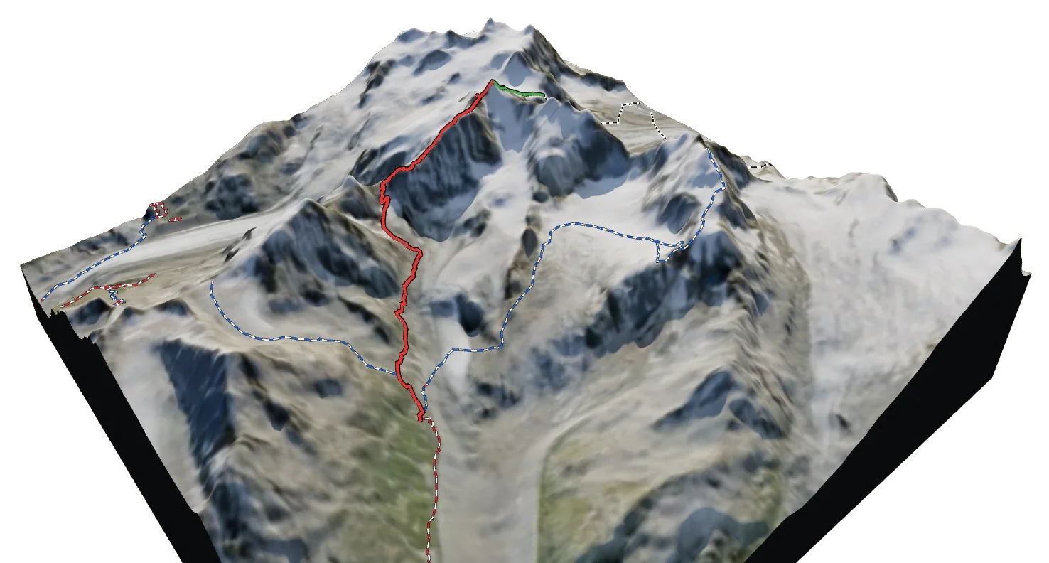
See Alpenpässe-Weg in three dimensions
Open the 3D atlas